Demos


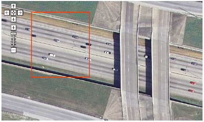
CBGIR: Content-Based Geographic Image Retrieval

CBGIR, a web-based system for performing content-based image retrieval in large sets of high-resolution overhead images. The system provides a familiar Google Maps interface to navigate the images and select regions of interest. A query-by-example paradigm is used to retrieve the most visually similar images to this region from a large target set of image tiles. Similarity can be computed with respect to a number of visual features including color, texture, and local invariant descriptors.


6.2011 - "Spatial Pyramid Co-occurrence for Image Classification" authored by PhD student Yi Yang and Professor Newsam has been accepted at the 2011 IEEE International Conference on Computer Vision.
1.13.2011 - PhD student Daniel Leung successfuly passed his qualifying exam and has advanced to candidacy!
2.24.2010 - "Proximate Sensing: Inferring What-Is-Where From Georeferenced Photo Collections"authored by PhD student Daniel Leung and Professor Newsam has been accepted at the 2010 IEEE International Conference on Computer Vision and Pattern Recognition as oral presentation.